
AllTrails is Coming up clutch during federal funding cuts
April has been a bit of a kick in the teeth for those passionate about conservation and wilderness recreation across the United States. Between the Senate passing RES 140, destroying a mining ban on the waters of the Quetico-Superior country, and a 2027 budget proposal cutting funding to every federal public lands organization, our wild places are in a precarious position. With this proposal, vast amounts of public land and wilderness may be left unmanaged and without the proper staff and resources to maintain and protect them. While the budget is just in its fledgling stage and must be voted on by both the House and the Senate, the rollback of federal protections is ongoing. While contacting your senator and representative is important in this regard, many grassroots groups and for-profit entities are doing their part to safeguard our wild lands.
One such company is the popular mapping and hiking app AllTrails, which put out its first-ever impact report in March of 2026. In this report, the app discusses not only its environmental impact but also the way in which it leveraged its data collected on over 2 billion miles of logged trails. This project is officially known as the Public Lands Program, and pairs AllTrails data with the local community organizations actively working to lobby for and maintain America's vast public lands.
On an episode of the Outdoor Minimalist Podcast, program director Pitt Grewe spoke on the project, saying, “ We have 96 million users, and our goal is to help people get outside and discover the outdoors, but that can’t be the end goal, and I think this goes for all outdoor industry companies.”
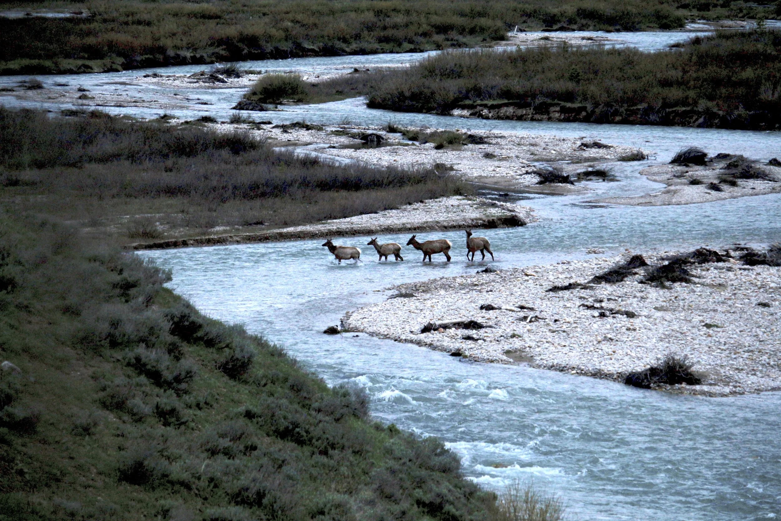
Photo of elk in Bridger-Teton National Forest
The impact report cites over 796 different community partners already leveraging the program on over 89,000 trails. This has manifested in more accurate safety data and better trail condition updates. One example highlighted in the report is in America's largest wild places, the Bridger-Teton National Forest. Here, Alltrails acted both as a jumping-off point for community organization Friends of Bridger-Teton and a communication device for them. Using AllTrails, the organization was able to see where in the vast national forest experienced the most traffic and work with the National Forest Service to create messages regarding stewardship and safety on these routes.
In years past, this kind of project may have been solely contained within the National Forest Service, with staff working on the whole operation, including gathering, analysing, and communicating data and safety messages. As the Federal government continues to cut funding and jobs across public lands organizations, responsibility for protecting and maintaining safe operation in our wild lands will continue to fall on the public. Partnerships like those in the Alltrails Public Lands Program are key examples of a way forward into a future with less government protection for our wild places.